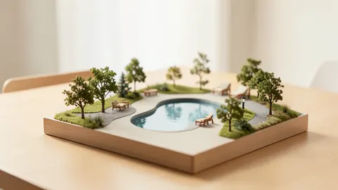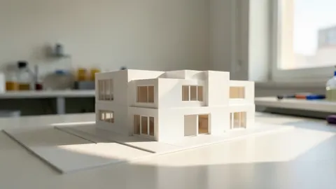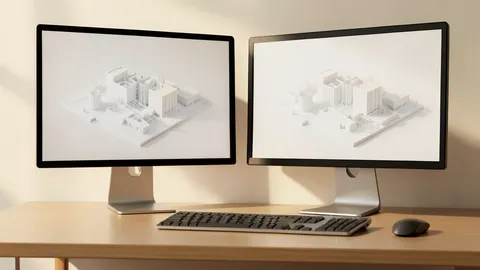
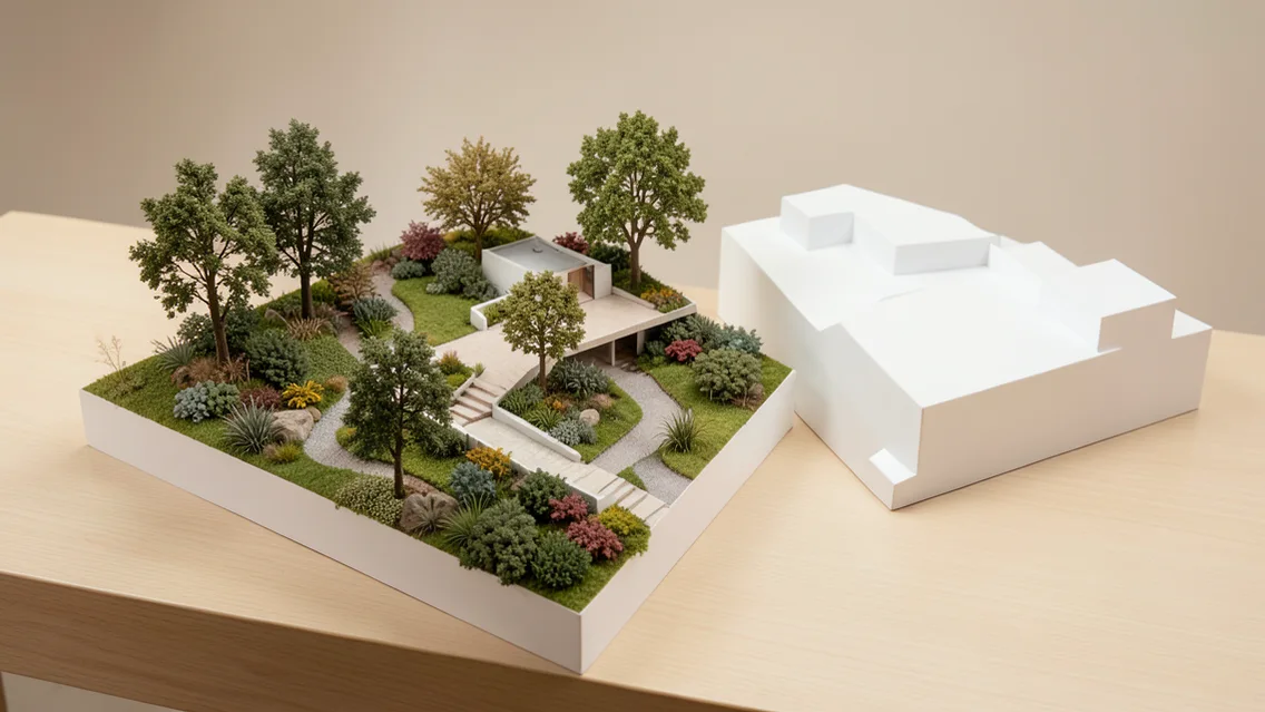
Fitness for the task rather than tool age
In 2021 the author criticized limitations in some SketchUp-based landscape workflows while appreciating rapid modeling and visualization. This is a historical opinion tied to capabilities at publication, not a verdict on the current version. Fast modeling may suit concept studies, while construction documentation, grading, irrigation and site analysis require additional data and tools.
From surveying to modeling and analysis
The source discusses combining laser scanning, LiDAR and GIS with models. Survey accuracy, coordinates and detail vary by source; verify units, spatial reference and data dates before integration. A 3D image does not establish accurate levels, pedestrian behavior or wind performance. Specialist analysis requires suitable models and validation, with field checks where needed.
Test workflows before replacing tools
Compare the existing modeling workflow with an alternative or extension through one pilot project. Define measurable outputs including data-input time, site accuracy, interoperability, documentation and immersive visualization. Combining specialized tools may outperform replacement of a tool that works well for a defined task. Review training, licensing, security and migration costs; decide from results rather than a general prediction of obsolescence.
Comparison and verification table
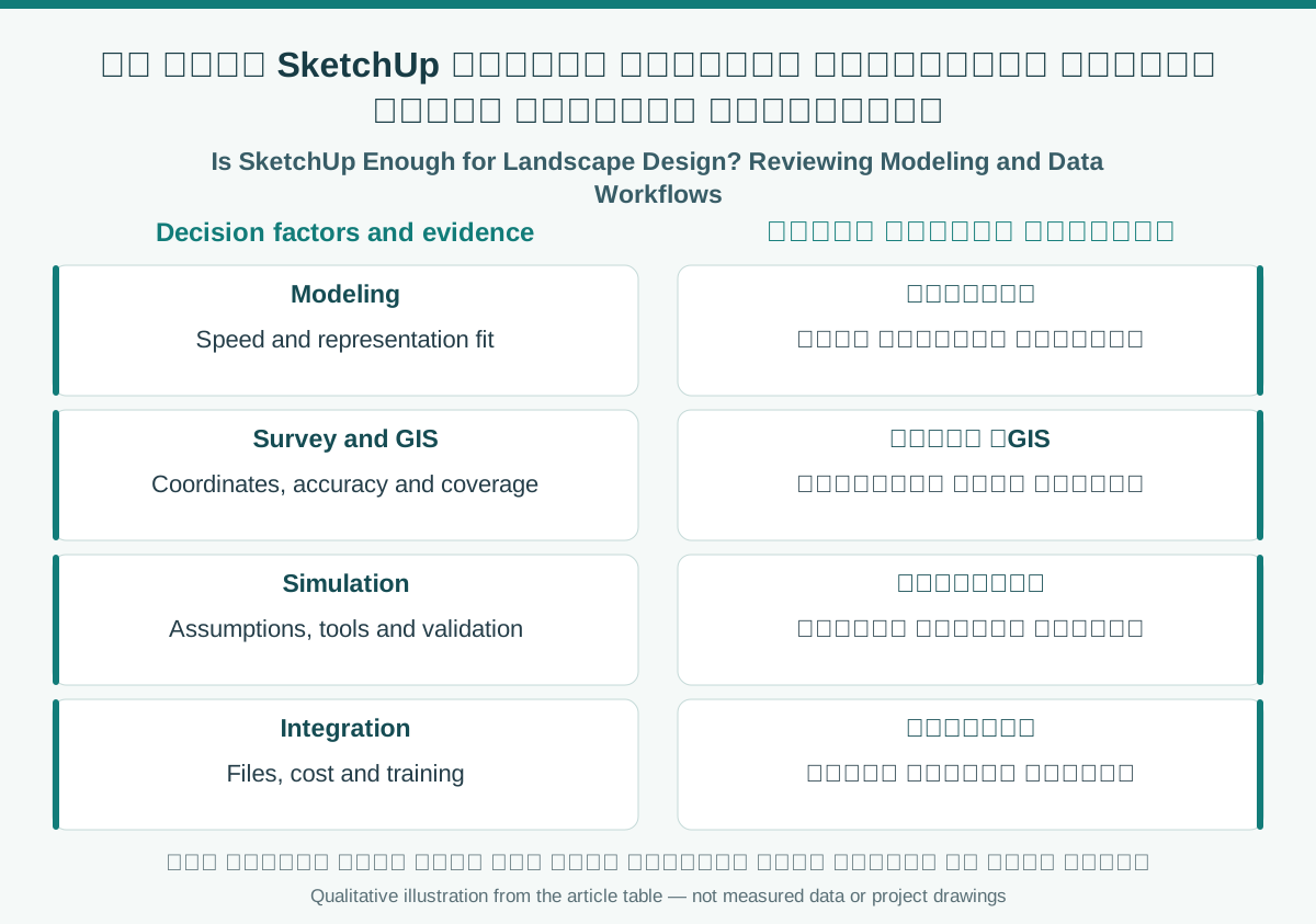
| Factor | Evidence or action |
|---|---|
| Modeling | Speed and representation fit |
| Survey and GIS | Coordinates, accuracy and coverage |
| Simulation | Assumptions, tools and validation |
| Integration | Files, cost and training |
A visual reading of the article topic
- 01Fitness for the task rather than tool age
- 02From surveying to modeling and analysis
- 03Test workflows before replacing tools
- 04Comparison and verification table
Practical workflow
- 01 Define workflow gap
- 02 Review actual tool capabilities
- 03 Run benchmark project
- 04 Decide retention, integration or replacement
Conceptual editorial diagram; not measured data.
Sources and limitations
Editorial adaptation based on the original WordPress archive; original source retained separately. The source title expresses the author’s 2021 prediction. Current SketchUp, extension and competitor capabilities need vendor verification before purchase. No empirical benchmark was conducted here.
Topics and source excerpts
| Topic | Excerpt from article |
|---|---|
| Fitness for the task rather than tool age | In 2021 the author criticized limitations in some SketchUp-based landscape workflows while appreciating rapid modeling and visualization. |
| From surveying to modeling and analysis | The source discusses combining laser scanning, LiDAR and GIS with models. |
| Test workflows before replacing tools | Compare the existing modeling workflow with an alternative or extension through one pilot project. |
| Practical workflow | 01 Define workflow gap |
| Sources and limitations | Editorial adaptation based on the original WordPress archive; original source retained separately. |
| References and limitations | SketchUp documents terrain creation from contours and scan import. |
Source excerpts organized for comparison, not newly researched findings.
References and limitations
SketchUp documents terrain creation from contours and scan import. Separate 2021 criticism from documented capabilities, and verify data accuracy and spatial reference before construction use.
The following references support selected topics in the article.
- SketchUp — Landscape Architecture
- USGS Lidar Base Specification glossary, 2025 rev A
- buildingSMART — IFC