
Define project level and deliverables
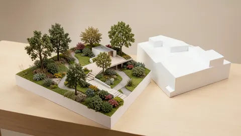
The 2021 article discusses tools ranging from homeowner visualization to professional landscape modeling. Start by identifying outputs: site survey and levels, planting and circulation plans, material details, irrigation, drainage, quantities and visualization. Not every project needs all software categories; a visualization tool may suit concepts, while construction requires more accurate documentation and specialist coordination.
Historical examples and use categories
The author discussed iScape for visualization and augmented-reality placement, Realtime Landscaping for developing and presenting landscapes, and Lands Design for modeling and managing landscape elements. AutoCAD, SketchUp, Revit and Archicad appeared as broader tools. These are source examples, not a current feature review. Check formats, platforms, licensing, plant libraries and documentation outputs; a plant library does not establish local climate suitability.
Site accuracy and value
Mobile applications may support visualization or site capture, but accuracy varies with device and method and does not replace appropriate construction surveys. Verify levels, drainage, access, water needs and mature plant sizes. Test tools with a small project involving document export and quantities, comparing actual cost, training, time and delivery quality. Software estimates are not binding contractor quotations.
Comparison and verification table
| Factor | Evidence or action |
|---|---|
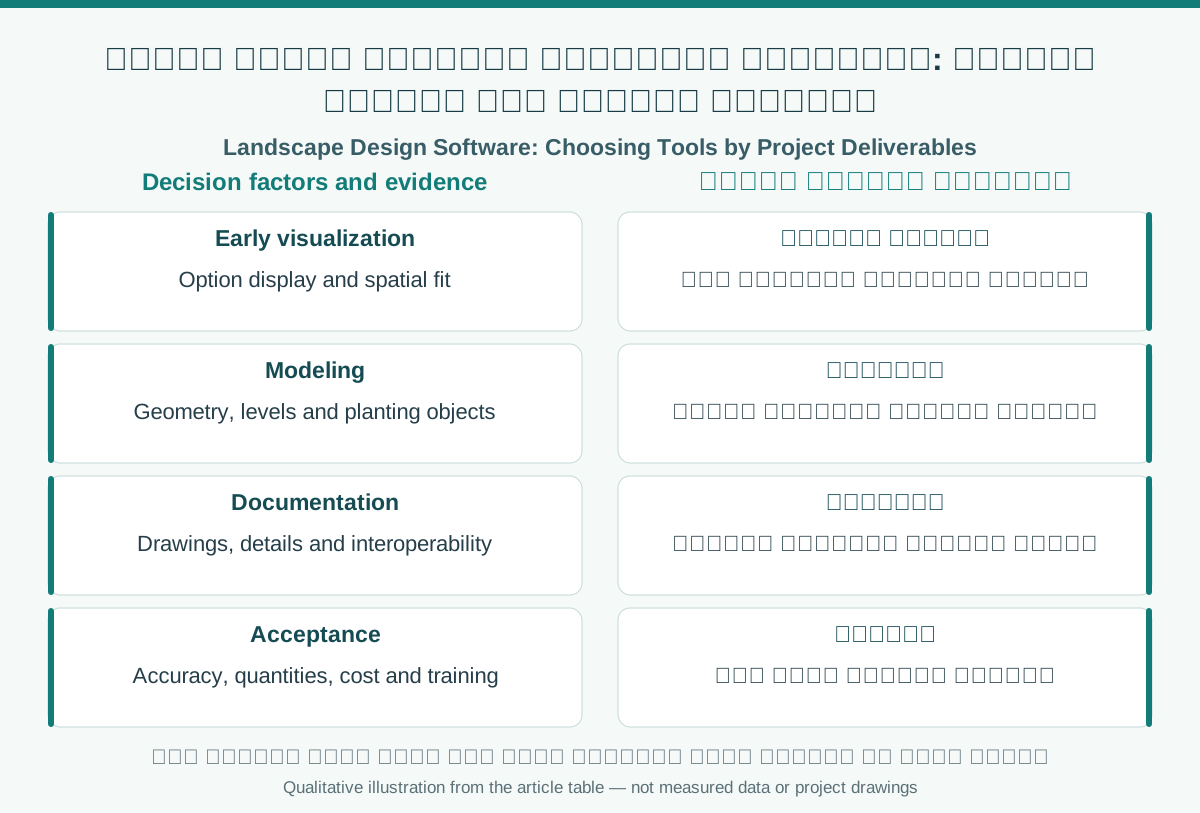
| Early visualization | Option display and spatial fit |
| Modeling | Geometry, levels and planting objects |
| Documentation | Drawings, details and interoperability |
| Acceptance | Accuracy, quantities, cost and training |
A visual reading of the article topic
- 01Define project level and deliverables
- 02Historical examples and use categories
- 03Site accuracy and value
- 04Comparison and verification table
Practical workflow
- 01 Identify deliverables
- 02 Compare software categories
- 03 Test site data and file exchange
- 04 Approve workflow by deliverables
Conceptual editorial diagram; not measured data.
Sources and limitations
Editorial adaptation based on the original WordPress archive; original source retained separately. Feature lists, plant-library counts and software compatibility from 2021 require vendor verification before current recommendations. The historical video playlist is preserved.
Topics and source excerpts
| Topic | Excerpt from article |
|---|---|
| Define project level and deliverables | The 2021 article discusses tools ranging from homeowner visualization to professional landscape modeling. |
| Historical examples and use categories | The author discussed iScape for visualization and augmented-reality placement, Realtime Landscaping for developing and presenting landscapes, and Lands Des… |
| Site accuracy and value | Mobile applications may support visualization or site capture, but accuracy varies with device and method and does not replace appropriate construction sur… |
| Practical workflow | 01 Identify deliverables |
| Sources and limitations | Editorial adaptation based on the original WordPress archive; original source retained separately. |
| References and limitations | Select software for project outputs from terrain and documentation to visualization, checking survey data and reference systems. |
Source excerpts organized for comparison, not newly researched findings.
References and limitations
Select software for project outputs from terrain and documentation to visualization, checking survey data and reference systems. Other software examples remain historical rather than a current comparison.
The following references support selected topics in the article.
- SketchUp — Landscape Architecture
- USGS Lidar Base Specification glossary, 2025 rev A
- Autodesk — 3D visualization software
- buildingSMART — IFC